Looking for Landscape Photography?
Click Link Below

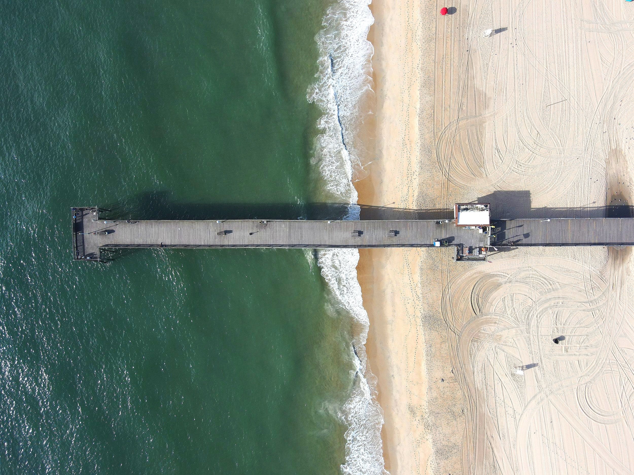
I added the new Mavic 3 Pro to my fleet which will help my clients in several ways. With its high-quality camera and advanced features, it can capture stunning aerial footage that can be used for real estate, marketing and promotional purposes. With its onboard 3x and 7x optical zoom it is a great tool for infrastructural inspections such as but not limited to roofs, cell towers, wind farms, and utility lines.
Please click below to visit our Social Media pages
Protect yourself, Protect your Company. Always hire a certified Part 107 pilot
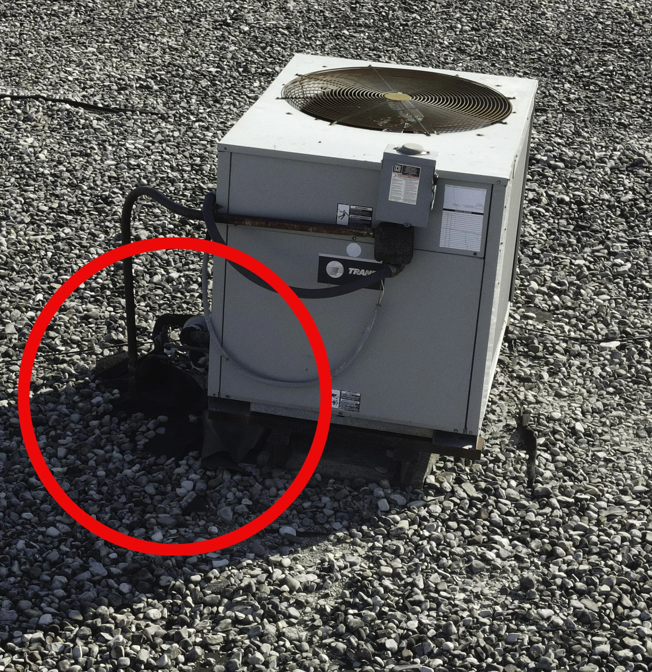
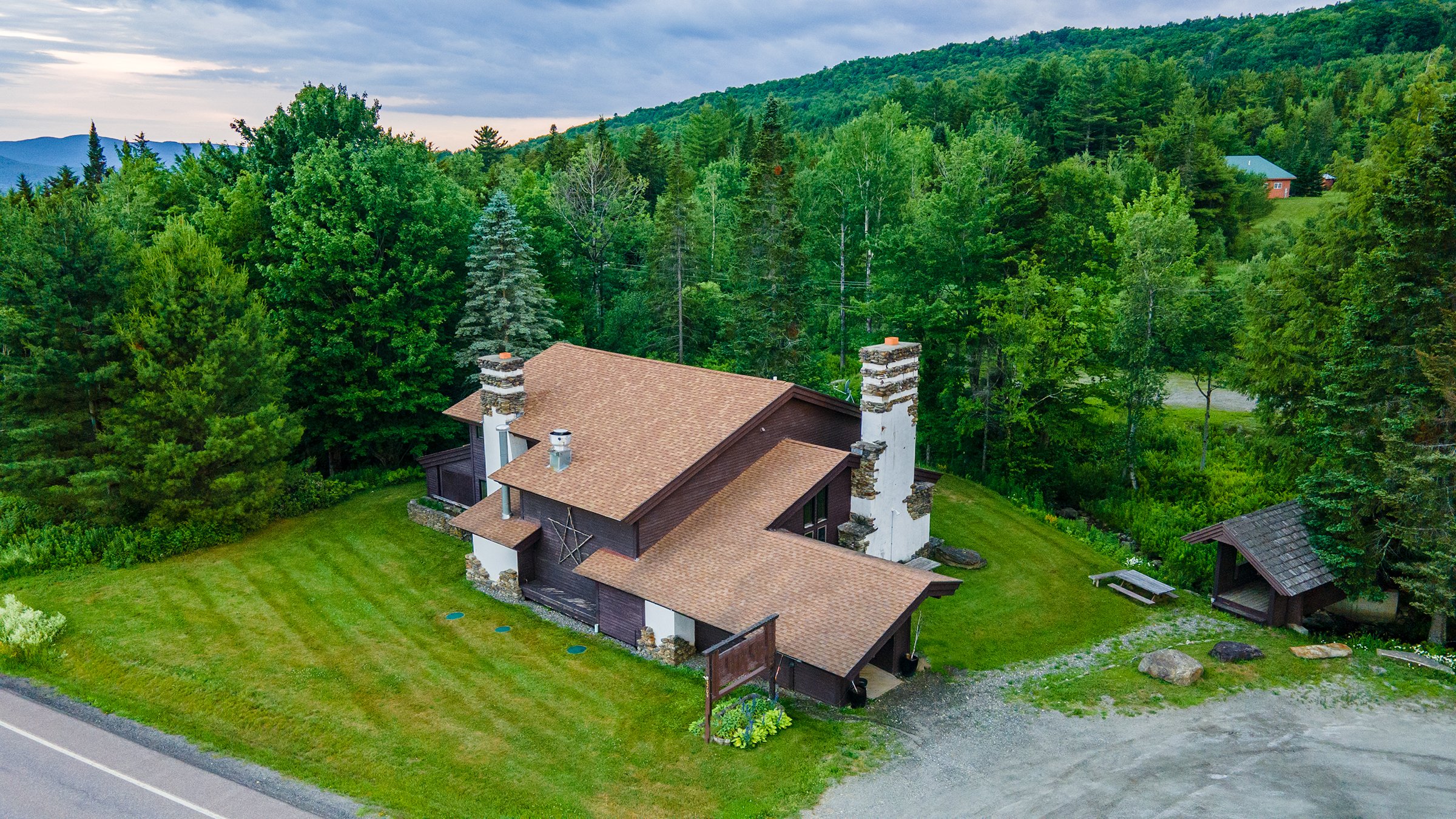
Visual Inspections
Roof - Residential and Commercial


Renewable Energy \ Infrastructure - Cell Towers, Wind Farms, Solar Farms
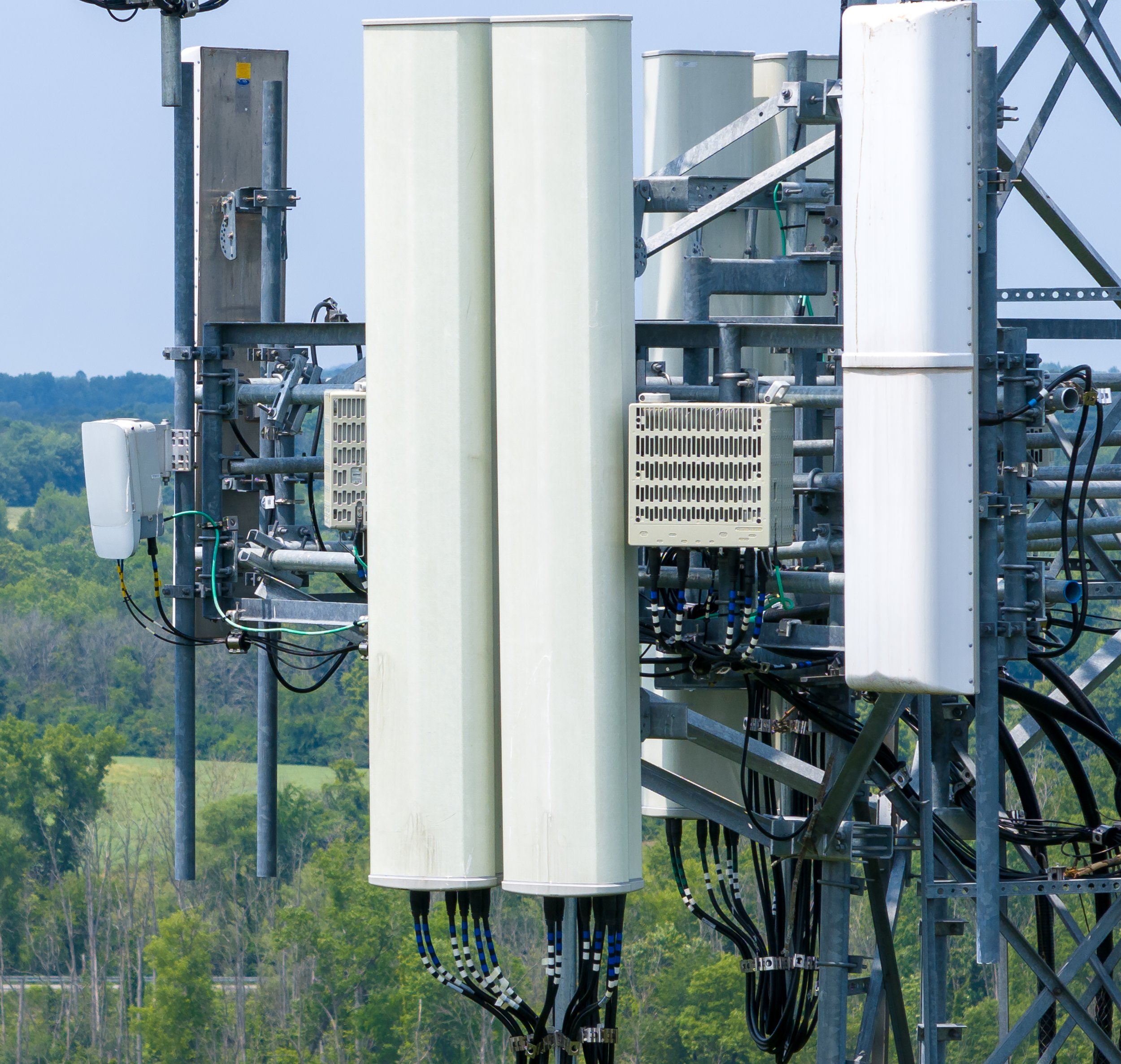
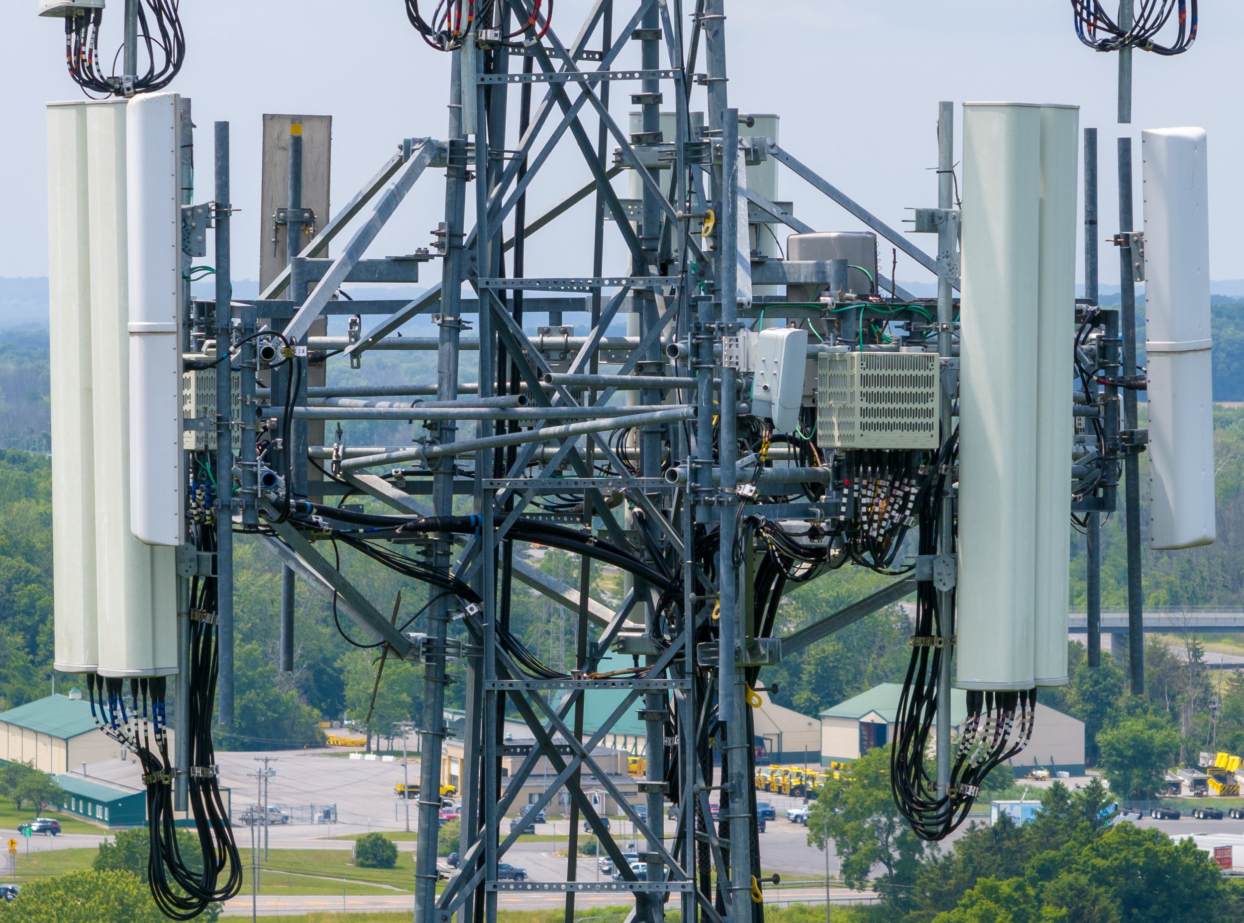
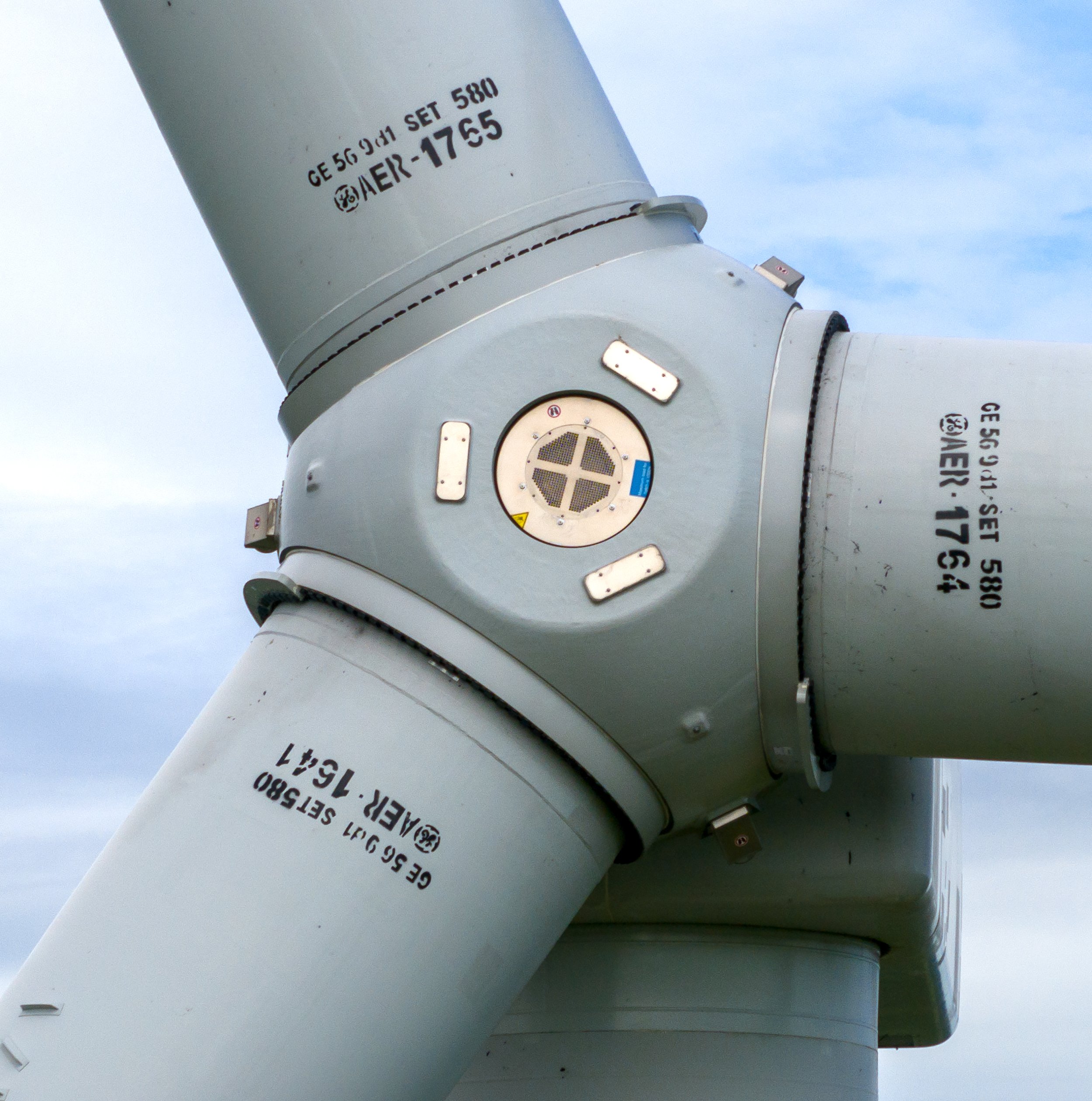

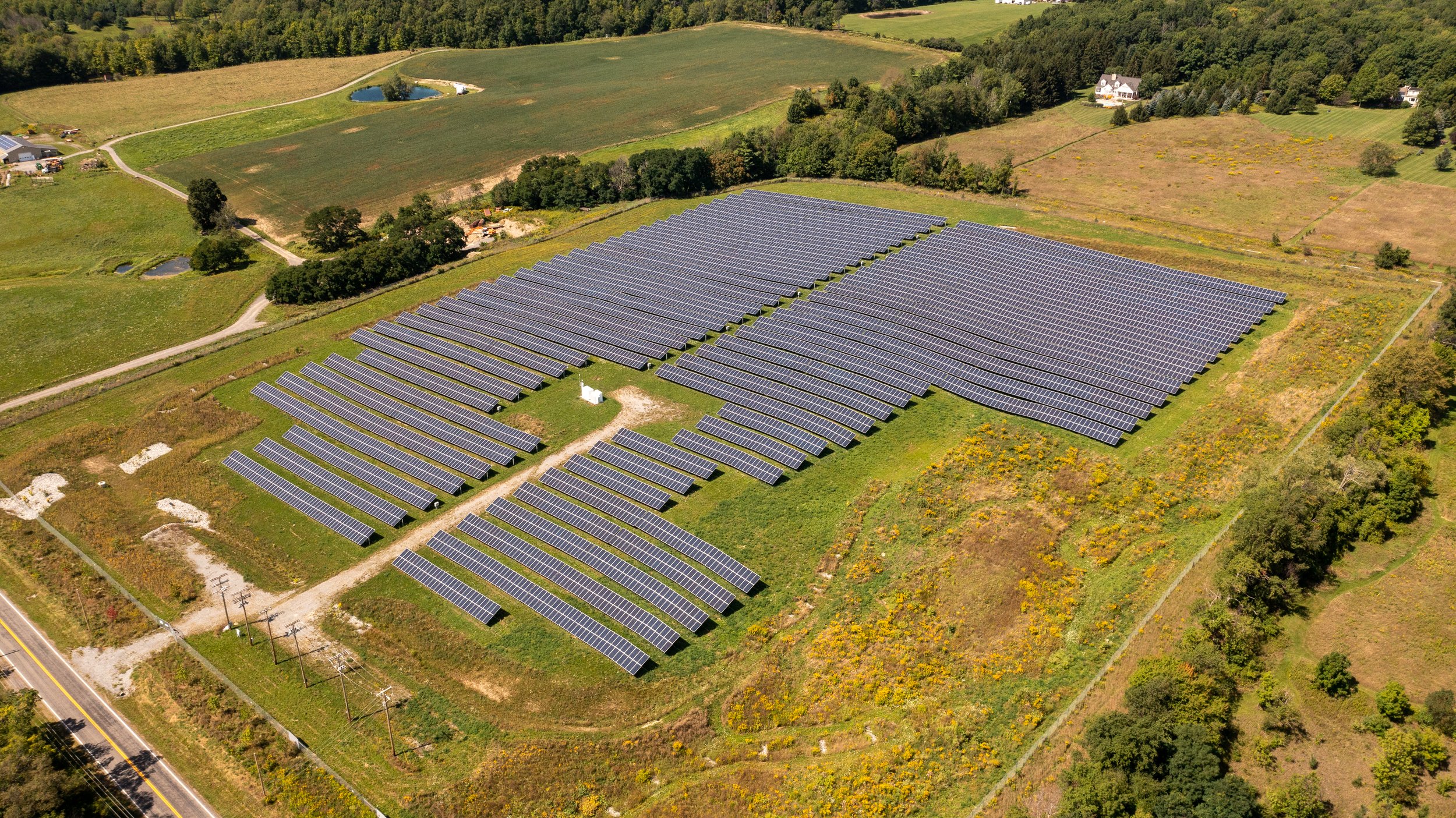
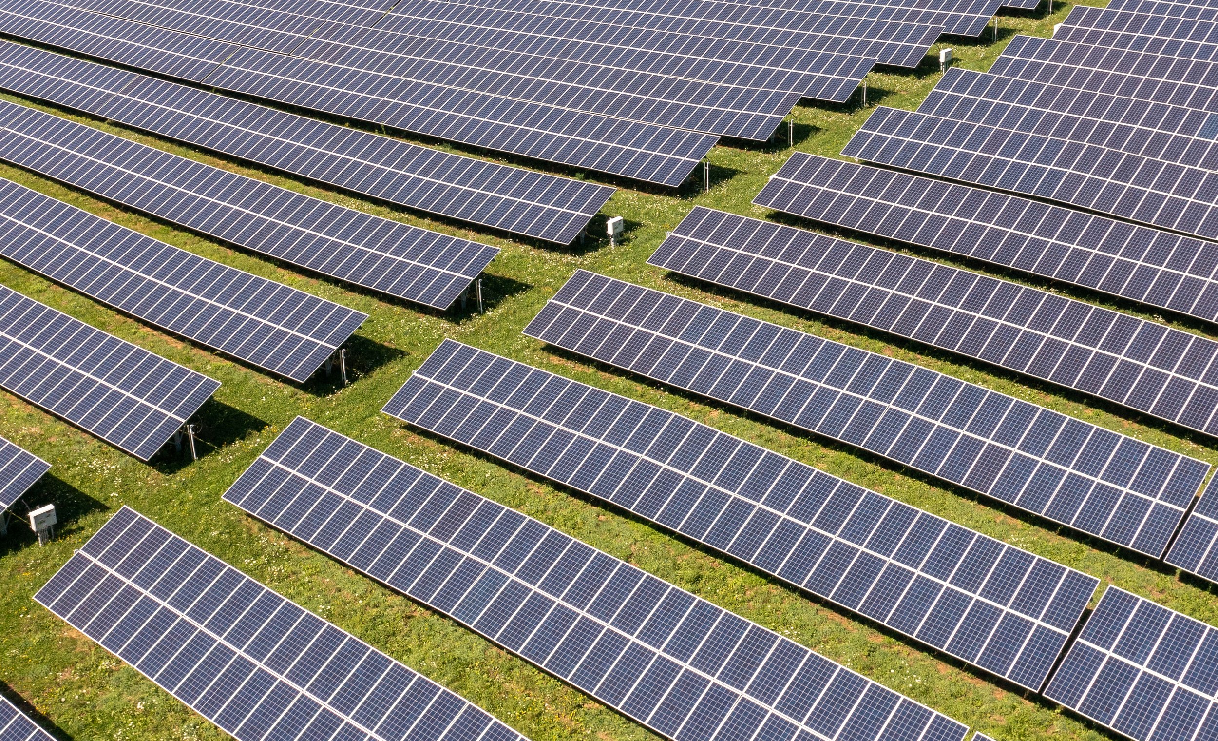
Areas of concern can be easily assessed
CONSTRUCTION PROGRESS MONITORING
Construction progress monitoring using drones involves the use of unmanned aerial vehicles (UAVs) to track the progress of a construction project. This can be done by capturing high-resolution images and videos of the site, and using image processing software to analyze them. By comparing the images and videos taken at different stages of the project, it is possible to track changes over time and identify any delays or issues that may have arisen. Drones can also be used to take measurements of the site and structures, which can be used to create detailed 3D models of the project. This can help project managers and engineers to better understand the progress of the project and identify areas that may require additional attention. The use of drones for construction progress monitoring can increase the accuracy and efficiency of the process while reducing the need for manual inspections.


Orthomoasics
Orthomosaics are high-resolution images created by stitching together multiple overlapping photographs taken from a drone. These images are used to create detailed maps and 3D models of the area captured in the photos. Drones equipped with cameras can fly over an area and take multiple photographs from different angles. These photos are then processed using specialized software to create a seamless, highly detailed image of the area. This process can be used in a variety of fields including surveying, agriculture, and construction. Orthomosaics can be used to create detailed maps, measure distances, and estimate volumes of materials. They can also be used to detect changes over time, such as erosion or urban development.
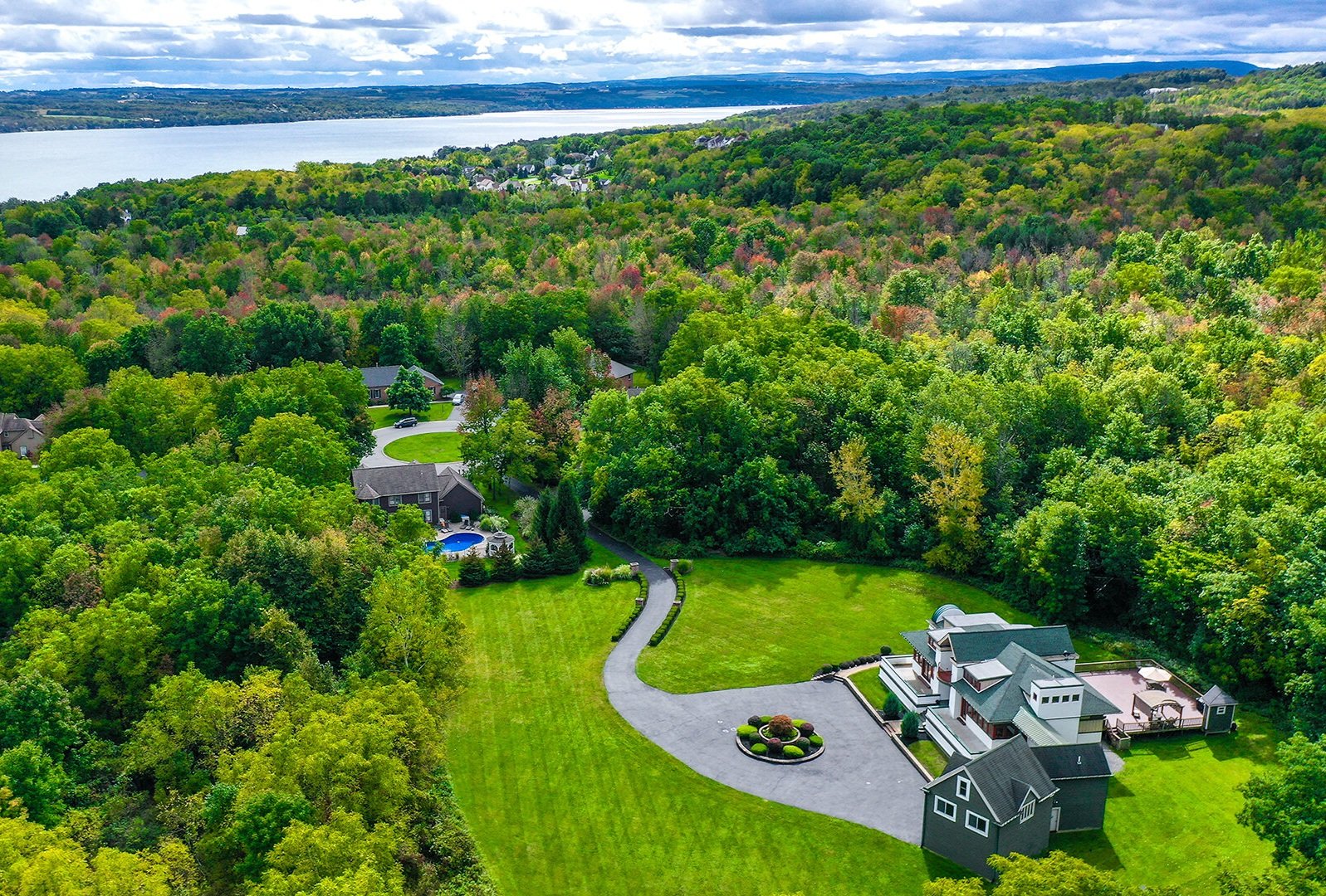
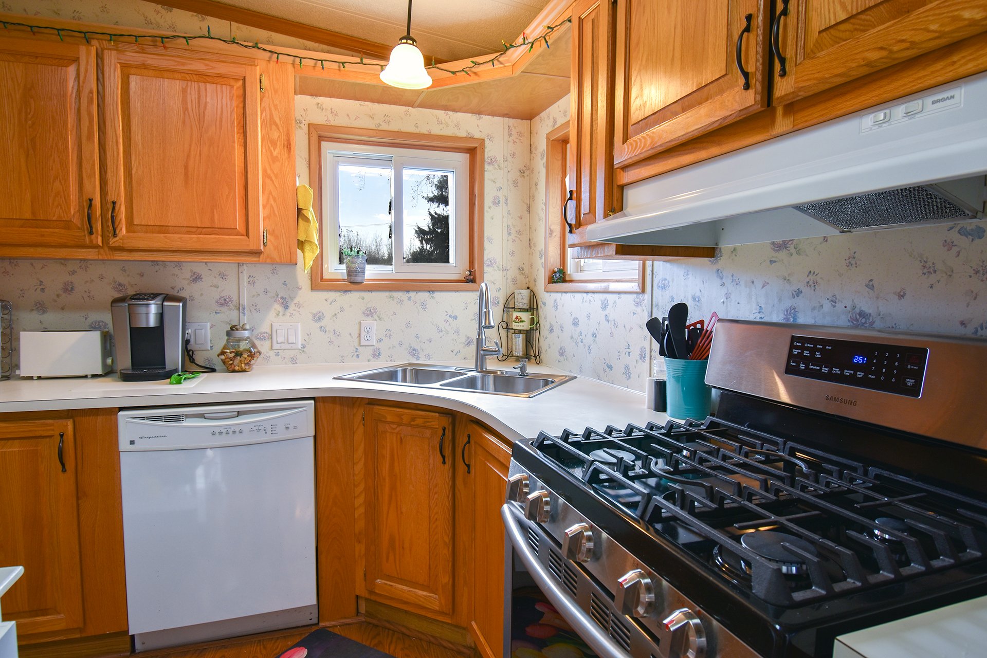
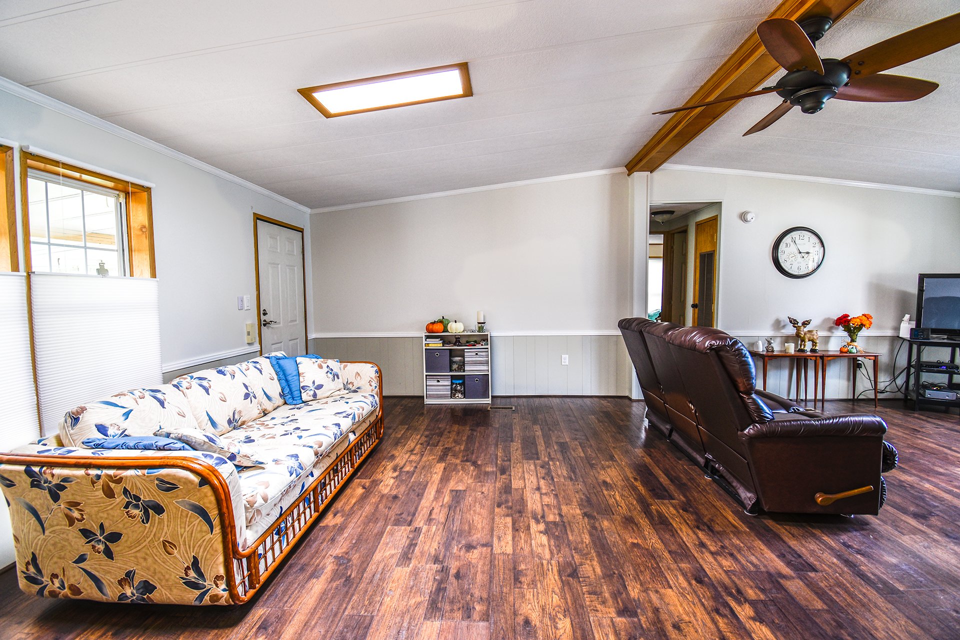
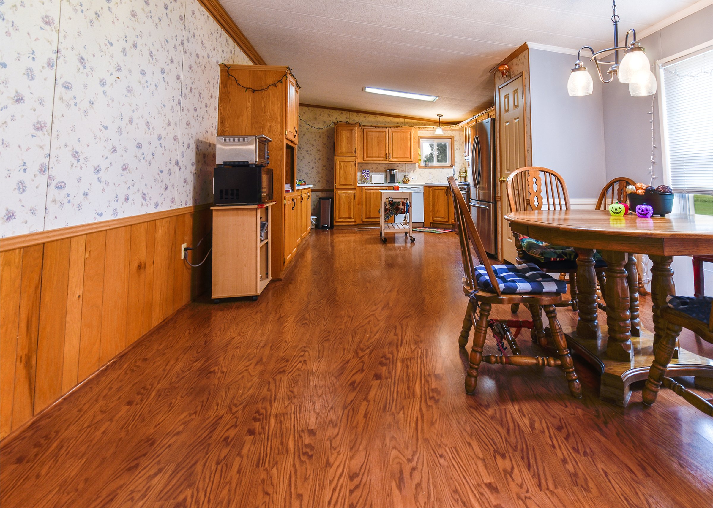
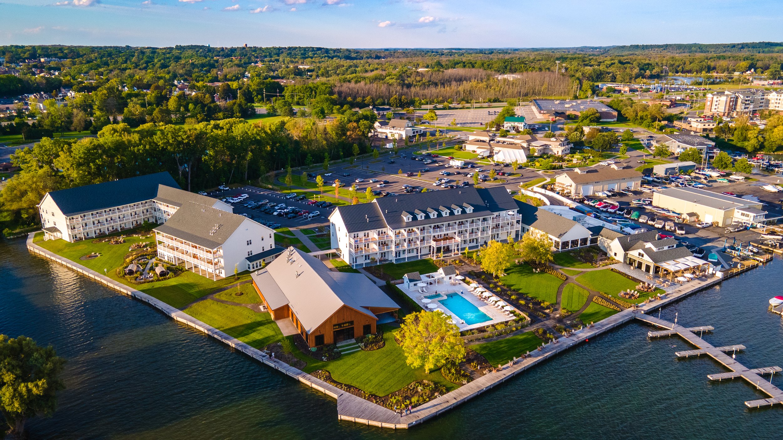
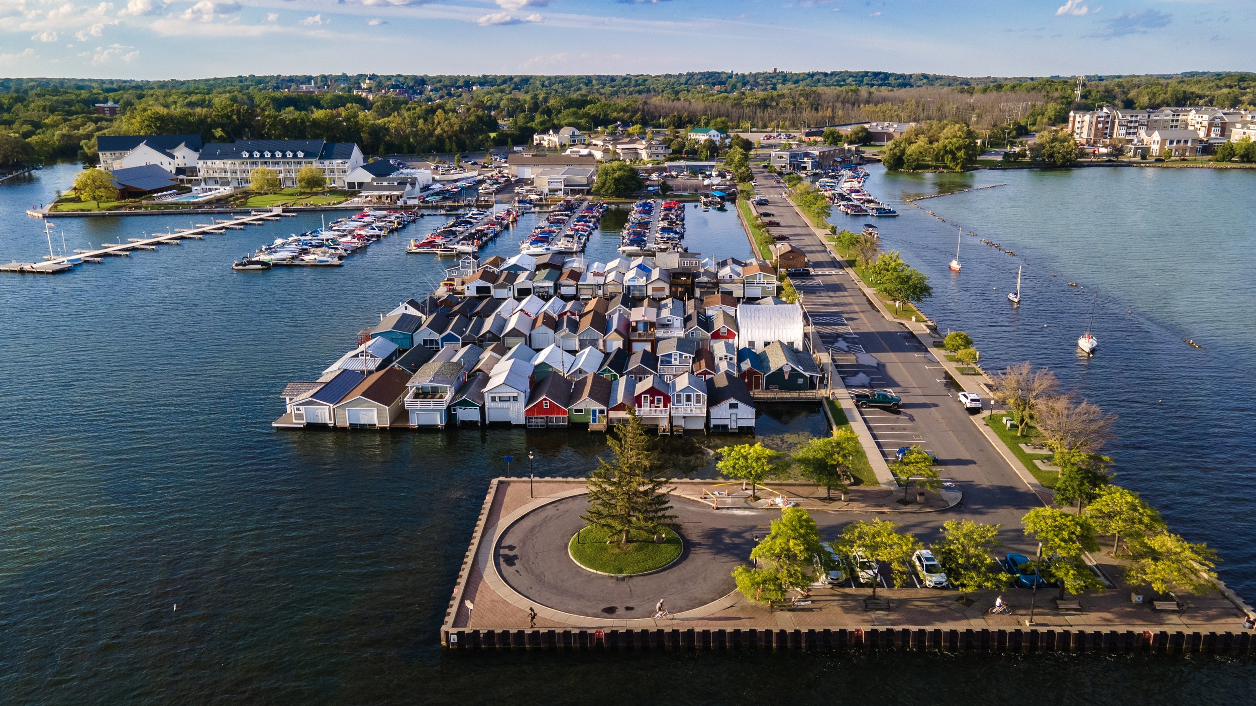
Real Estate
Real estate photography and videography plays a crucial role in the marketing and selling of a property. High-quality photographs can showcase the features and aesthetics of a property, making it more attractive to potential buyers. Additionally, good photography can help to highlight the best aspects of a property, while minimizing any negative features. Furthermore, Real estate photography can help to create a sense of emotion and desire in potential buyers, making them more likely to schedule a viewing or make an offer. In today's digital age, where most buyers start their search online, good photography is even more critical as it is often the first point of contact for a potential buyer and can make or break their decision to schedule a showing.
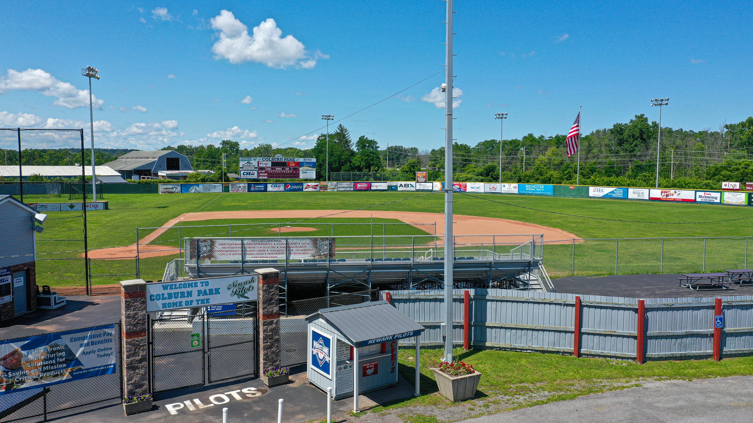
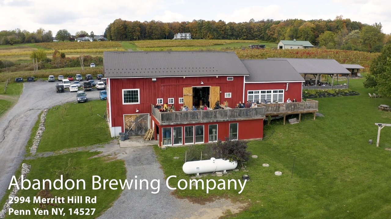
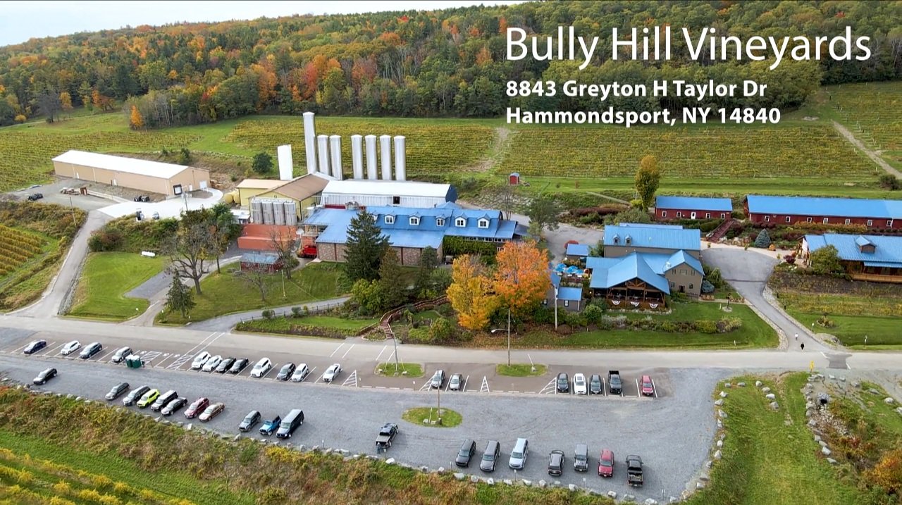
Advertising / Marketing And Events

HD Photos / 4K Video for Advertising, Marketing, Social Media needs

My Mission
To Provide Professional quality Production to my clients in the form of photo and video with the utmost integrity and dedication. — Jason Rossier